Rangárþing eystra, the municipality that grounded the planes
Back in April 2010, an unpronounceable Icelandic name took over television news broadcasts worldwide. The Eyjafjallajökull volcano, located within this rural municipality in Suðurland, brought European air traffic to a standstill for days. The region still carries that label to this day, but it has much more to offer than a mouthful of a name and an ash cloud.
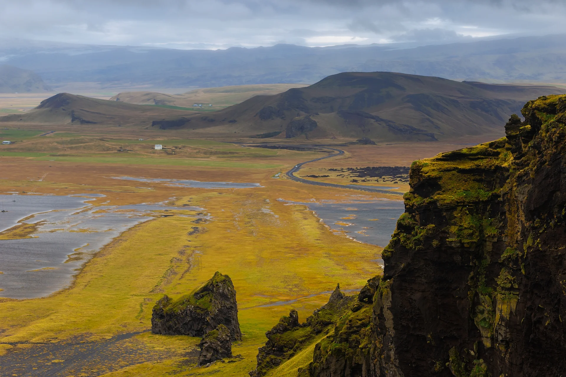
Here, working farms share the landscape with waterfalls tumbling out of nowhere, black-sand beaches lashed by the Atlantic, and glaciers rumbling in silence. It is raw, unfiltered rural Iceland.
Is this destination for you?
If you dream of driving down empty roads past more sheep than cars, with photo stops every ten kilometers, this spot will deliver. It is also an ideal playground for hikers and volcanic geology enthusiasts.
On the flip side, if you are looking for nightlife, fine dining, or a city vibe, you will not find any of that here. The main hub, Hvolsvöllur, has fewer than 1000 residents and consists of just a few streets.
Great destination for:
- Road trip fans and volcanic landscapes
- Waterfall chasers and hikers
- Travelers with a rental car exploring Route 1 (the Ring Road)
Skip this if you want:
- Travelers without a vehicle (public transit is extremely limited)
- Anyone looking for city life or nightlife
- Tight budgets (Iceland is expensive everywhere)
Heads up on costs
Just like everywhere else in Iceland, expenses add up fast. This municipality is no exception, even though prices are generally lower than in Reykjavík.
| Expense | Range |
|---|---|
| Campsite night | 15 à 25 € |
| Guesthouse or small hotel night | 100 à 180 € |
| Quick bite | 12 à 18 € |
| Restaurant meal | 25 à 40 € |
| Car rental per day | 50 à 90 € |
Estimated rates subject to change
Practical realities
Icelandic weather has a mind of its own, and this area is no exception: rain, wind, and fog can all roll through in a single day. Pack warm, waterproof layers even in the summer.
The road network is solid on Route 1, but certain tracks leading to waterfalls or the interior highlands require a 4x4 vehicle, especially after a heavy rain. Cell service is generally reliable along the main highway.
Eyjafjallajökull and surroundings
The glacier that put the region on the map is best viewed from a distance, but an exhibition center in Þorvaldseyri, the farm closest to the volcano, tells the story of the 2010 eruption through a film and firsthand accounts from local farmers.
Friendly tip: Stop by the Þorvaldseyri farm even if you are in a rush. The 20-minute film shown at their center is well worth the detour to understand what locals went through during the eruption.
Iconic waterfalls
Seljalandsfoss
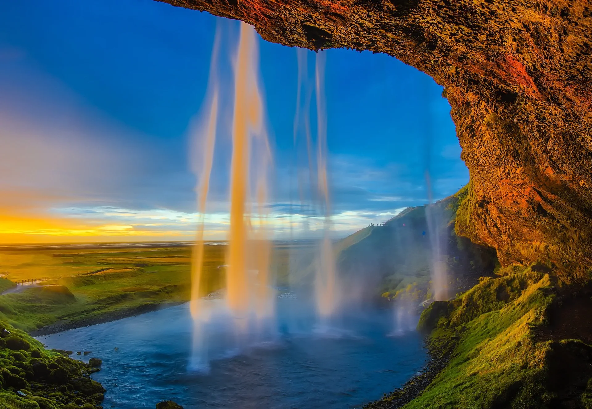
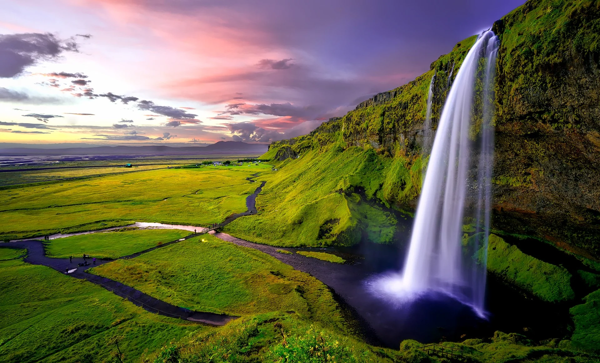
This 60-meter waterfall is probably the most photographed in Iceland, and for good reason: a trail lets you walk right behind the sheet of water. Bring rain gear because you will come out soaked, but the experience justifies a few minutes of discomfort.
Skógafoss
Further along Route 1, this waterfall impresses with its width and its 25-meter wall of water. A staircase climbs to the top for an expansive view over the coastal plain.
Black-sand beaches
The south coast features stretches of volcanic sand battered by powerful waves. Exercise caution here because these beaches are known for sneaker waves that can pull an unsuspecting walker out to sea in seconds.
More things to do
- Hiking the trails of the Þórsmörk reserve, accessible only by 4x4 or specialized bus
- Spotting volcanic rock formations along the coastline
- Visiting the Skógar Folk Museum, filled with traditional artifacts
Where to eat and drink in Rangárþing eystra?
Local dining revolves around farm produce: Icelandic lamb, dairy products, and occasionally fish caught off the nearby coast. Several farms now offer direct sales or small cafés attached to their operations.
In Hvolsvöllur, the restaurant options are modest but adequate for a decent meal after a long day of driving.
Where to stay in and around Rangárþing eystra?
Accommodations range from family-run guesthouses and converted farm lodgings to a few campgrounds open during the summer season. Many travelers choose to stay near Hvolsvöllur as a base for exploring the waterfalls and glacier.
How to get to Rangárþing eystra?
The closest international airport is Keflavík, about a two-hour drive away. Once on the ground, a rental car is by far the easiest way to reach the region.
How to get around Rangárþing eystra?
Without a car, your options are very limited: a few tour buses serve the main sights in the summer, but schedules are sparse. A car, ideally a 4x4, is essential to explore the region freely and access secondary dirt roads.
When to go to Rangárþing eystra?
The period from June to August offers the best conditions: long daylight hours, clear roads, and easy access to mountain tracks. Fall and spring attract travelers looking for smaller crowds, but the weather becomes more unpredictable. Winter makes driving on secondary roads significantly more challenging.