Where the Atlantic meets the Caribbean Sea
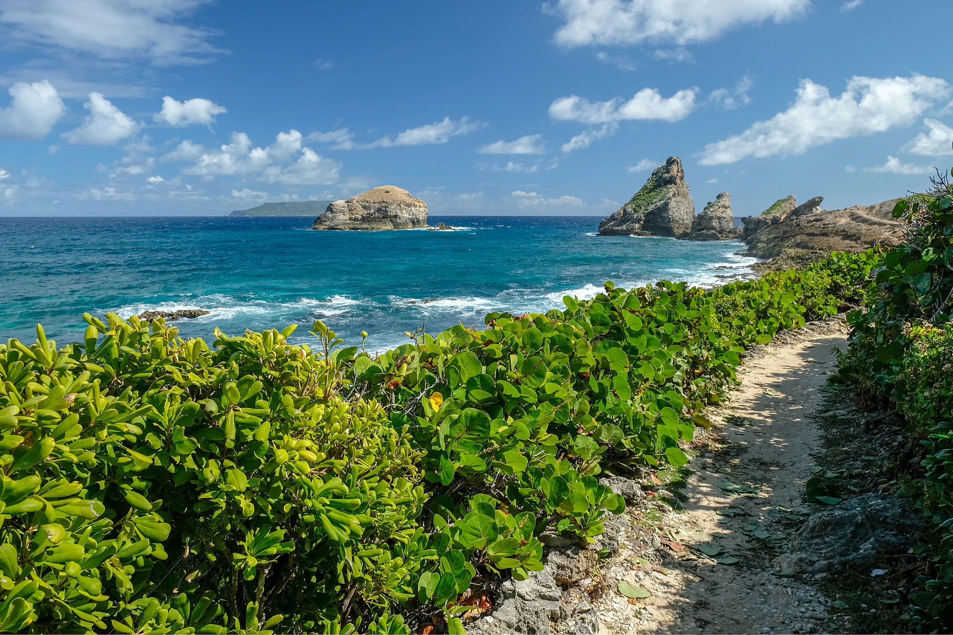
At the end of the road, Grande-Terre terminates in a headland of rock carved by the waves. The wind has kept the vegetation low, and the cliffs drop on the Atlantic side amid the roar of the water.
A large cross stands at the summit, and the island of La Désirade rises in the distance.
Why visit the headland
Pointe des Châteaux marks the boundary between the Atlantic Ocean to the north and the Caribbean Sea to the south. This frontier is visible in the landscape: on one side, waves battering the cliffs, and on the other, a more sheltered coastline.
Its name comes from the sea-eroded rock formations that resemble castles or ramparts. The site is protected and listed, which helps explain its rugged appearance.
The trails and the cross
From the parking lot at the end of the coastal road, the trail to the cross starts on foot. It runs between cliffs, sculpted rocks, and low, dry vegetation shaped by the wind and sea spray.
A few steps carved into the rock lead to the top. From there, the view takes in the Atlantic, the Caribbean Sea, and La Désirade. On a clear day, you can sometimes make out Marie-Galante in the distance.
Nearby beaches
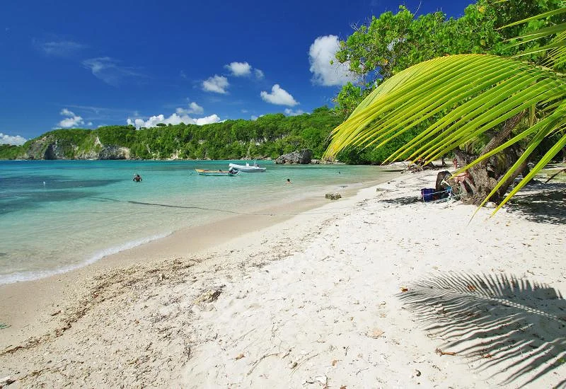
On the more sheltered southern coast, the shoreline features several beaches: Anse à la Gourde, Anse Tarare, and Anse Châteaux. You can swim or simply walk there after exposure to the winds of Pointe des Châteaux.
The contrast is sharp with the Atlantic side, where you instead watch the waves crash against the cliffs.
Friendly tip: the low vegetation offers little shelter from the wind and spray. Bring a windbreaker, even in good weather, to enjoy the cross without rushing.
How long for this activity
Plan on 1 to 1.5 hours to hike up to the cross, walk the trails along Pointe des Châteaux, and take in the views.