Val-d'Aigoual, where meteorologists live among the clouds
In November 1982, the observatory's anemometers recorded gusts exceeding 186 mph (300 km/h) before failing. The official record remains an estimate. This mountain in the southern Massif Central has defied weather instruments since 1894, when observers first decided to post up at 5,141 feet (1,567 meters) to study the sky.
Meteorologists still live at the summit of the Mont Aigoual today, making this the last permanently staffed mountain weather station in France.
Val-d'Aigoual: a destination for hikers and stargazers
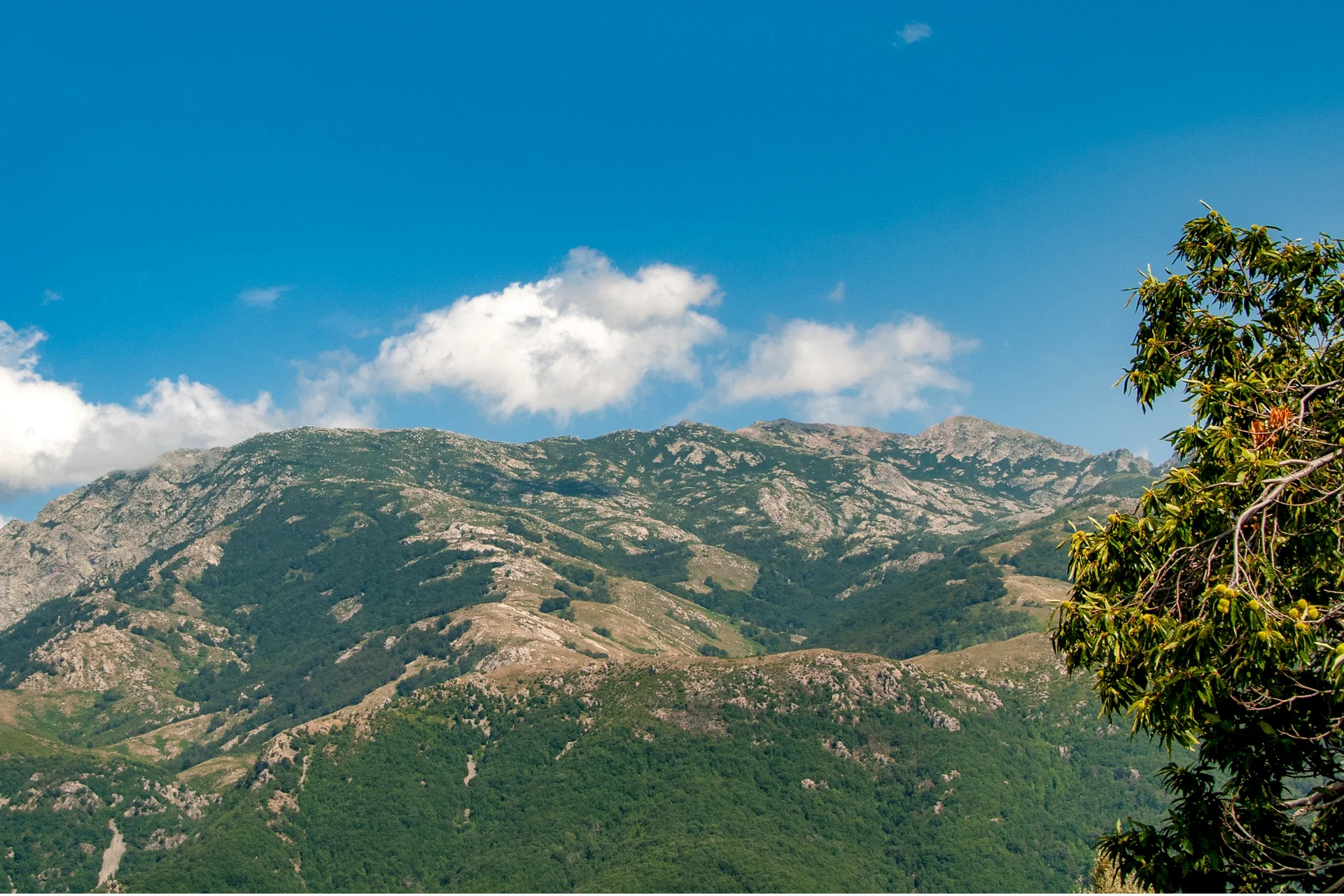
This administrative commune encompasses Valleraugue, Notre-Dame-de-la-Rouvière, and the mountain village of L'Espérou. It is designed for hikers, nature lovers, and those seeking cool air during the summer. The Parc National des Cévennes surrounds the territory, providing a level of quiet that the beach towns of the Languedoc lack.
Do not expect nightlife or fashion boutiques. After dark, the primary activity here is stargazing in one of Europe's largest dark-sky reserves. A car is essential. Public transportation is virtually nonexistent, and the winding roads require patience. Travelers looking for the convenience of an all-inclusive resort will find the rural, spread-out nature of this area a significant change of pace.
Affordable mountain travel
Expect to pay 50 to 80 EUR ($55 to $85) per night for a gîte or bed and breakfast, and 15 to 25 EUR ($16 to $27) for a full meal. Admission to the Climatographe is 9 EUR ($10) for adults and free for children under 11. Hiking trails and most natural sites are free to access.
The ascent of Mont Aigoual and its 4,000 steps
The sentier des 4000 marches (4,000 steps trail) begins in Valleraugue and climbs 4,007 feet (1,222 meters) over 7 miles (11 kilometers). The rock steps range from 8 to 28 inches (20 to 70 centimeters) in height. Every first Sunday in June, a race draws hundreds of participants to this iconic climb. The rest of the year, budget 5 to 7 hours to reach the summit at a comfortable pace.
At the top, the Climatographe replaced the old weather museum in 2023. This climate change interpretation center features 7,500 square feet (700 m²) of interactive exhibits. Meteorologists from Météo-France lead tours and answer visitor questions. On a clear day, the orientation table reveals a quarter of France, stretching from the Alps to the Pyrenees, and from the Puy de Sancy to the Mediterranean.
Pro tip: Even in mid-summer, bring a fleece and a windbreaker. The summit records 270 days of wind exceeding 37 mph (60 km/h) per year, and the temperature can be 27 degrees Fahrenheit (15 degrees Celsius) cooler than in the valley.
The forests of Aigoual: an ecological rebirth
At the end of the 19th century, this massif was barren, ravaged by centuries of overgrazing and logging. Devastating floods in 1844 and 1868 prompted engineer Georges Fabre to launch a massive reforestation program. The arboretum de l'Hort de Dieu preserves the remains of these experiments with tree species from Europe and beyond.
The national forest has earned the Forêt d'Exception label. Educational trails explain this unique environmental history. The sentier des Botanistes (Botanists' trail) is a short loop around the summit accessible to families. Birdwatchers should keep an eye out for the Tengmalm's owl and the black woodpecker in these woods.
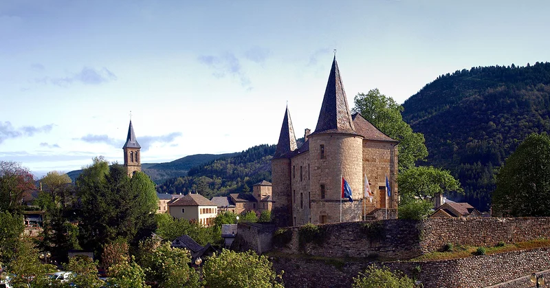
L'Espérou and the valley villages
L'Espérou sits at 4,150 feet (1,265 meters) as the last village before the summit. This preserved hamlet hosts the fête de la Transhumance every June, when sheep decorated with colorful tassels parade through the streets before heading to summer pastures. The Hôtel du Parc has been welcoming travelers here since 1910.
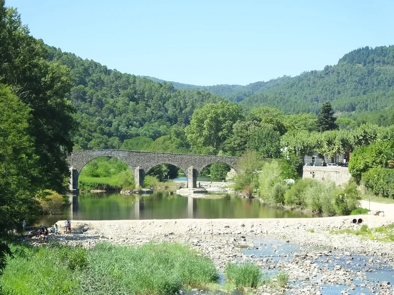
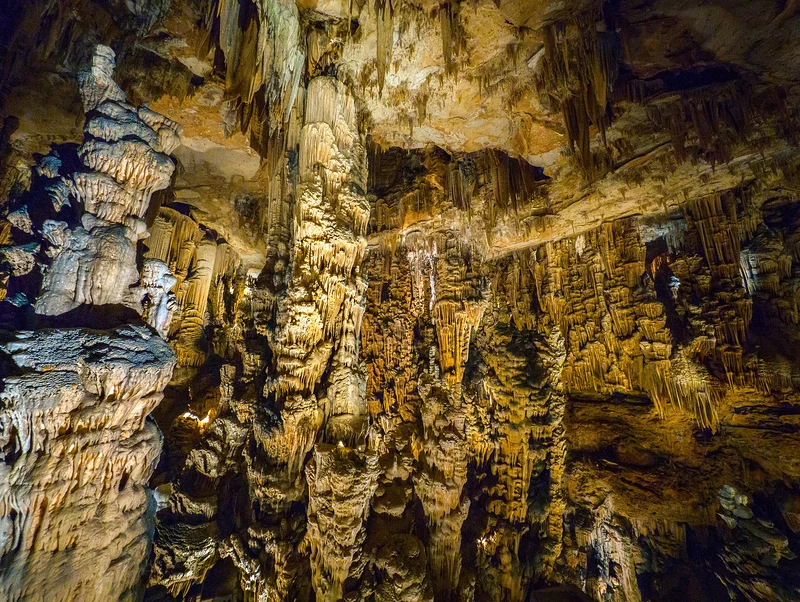
Camprieu occupies a sunny plateau at 4,265 feet (1,300 meters). The Lac du Bonheur, one kilometer from the village, offers a swimming spot fed by the springs of the Aigoual. The water remains cold even in the heart of summer. The Saturday morning market in front of the church is the place to pick up pélardon, the local goat cheese with AOP status.
Seasonal activities
In winter, the Alti Aigoual station at Prat Peyrot offers 14 downhill ski runs, 37 miles (60 km) of cross-country trails, and snowshoeing paths. In summer, mountain biking takes over, with the Grande Traversée du Massif Central passing through the territory. You can observe mouflons, introduced in 1950, from a dedicated lookout on the D986 between 6:00 PM and 9:00 PM, often with a park ranger present.
Where to eat and drink in Val-d'Aigoual?
The Auberge Cévenole in La Pénarié is situated in a former silkworm farm by the river. The menu showcases local Cévennes products. In L'Espérou, the Brasserie du Carrefour at the Hôtel du Parc serves simple, hearty meals to passing hikers.
Local specialties center on aged pélardon, chestnuts prepared in every possible way, and mushrooms foraged in the undergrowth. Wild blueberries and raspberries flavor desserts when in season. For supplies, the grocery store in L'Espérou or the market in Camprieu cover the essentials.
Where to stay in and around Val-d'Aigoual?
The gîte d'étape de l'Aigoual, right at the summit, offers a front-row seat for the sunrise. The Grande Draille in L'Espérou combines an equestrian gîte with a table d'hôtes serving local products. Expect to pay 20 EUR ($22) per night or 45 EUR ($48) for half-board.
In Valleraugue, Le Clarou offers gîtes and B&B rooms with a swimming pool in a lush setting. Rental platforms list restored Cévennes chalets and "mazets" (small stone farmhouses), often featuring terraces with valley views. For larger groups, the Pont du Moulin in Camprieu can accommodate up to 144 people with on-site catering.
How to get to and around Val-d'Aigoual?
From Montpellier or Nîmes, expect a 1.5-hour drive via winding secondary roads. The D986 from Le Vigan is the primary access point. From Millau, the route crosses the plateau before dropping down toward the southern slope. GPS devices sometimes struggle with the minor roads, so prioritize routes passing through Le Vigan or Meyrueis.
No train line serves the massif directly. The nearest station is in Le Vigan, about 10 miles (16 km) from Valleraugue. A car is the only realistic way to explore the area. The narrow, winding mountain roads require careful driving, especially in winter when icy conditions are common.
When to go?
May, June, and September offer the best conditions: pleasant temperatures, accessible trails, and moderate crowds. Summer provides a welcome escape from the heat of the Languedoc plains. Be aware of the autumn épisodes cévenols, intense weather events that can dump up to 24 inches (600 mm) of rain in 24 hours, as seen in October 1963. Winter is ideal for snow and cross-country skiing, though mountain access can be restricted by weather.
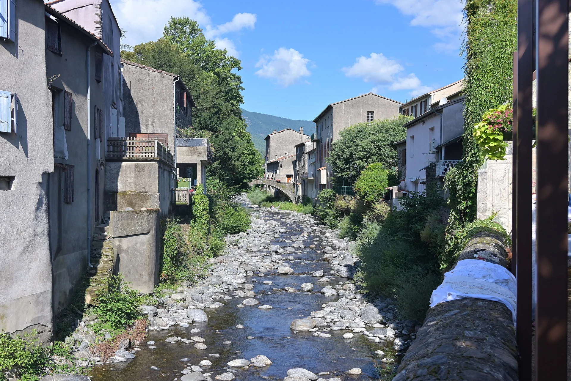
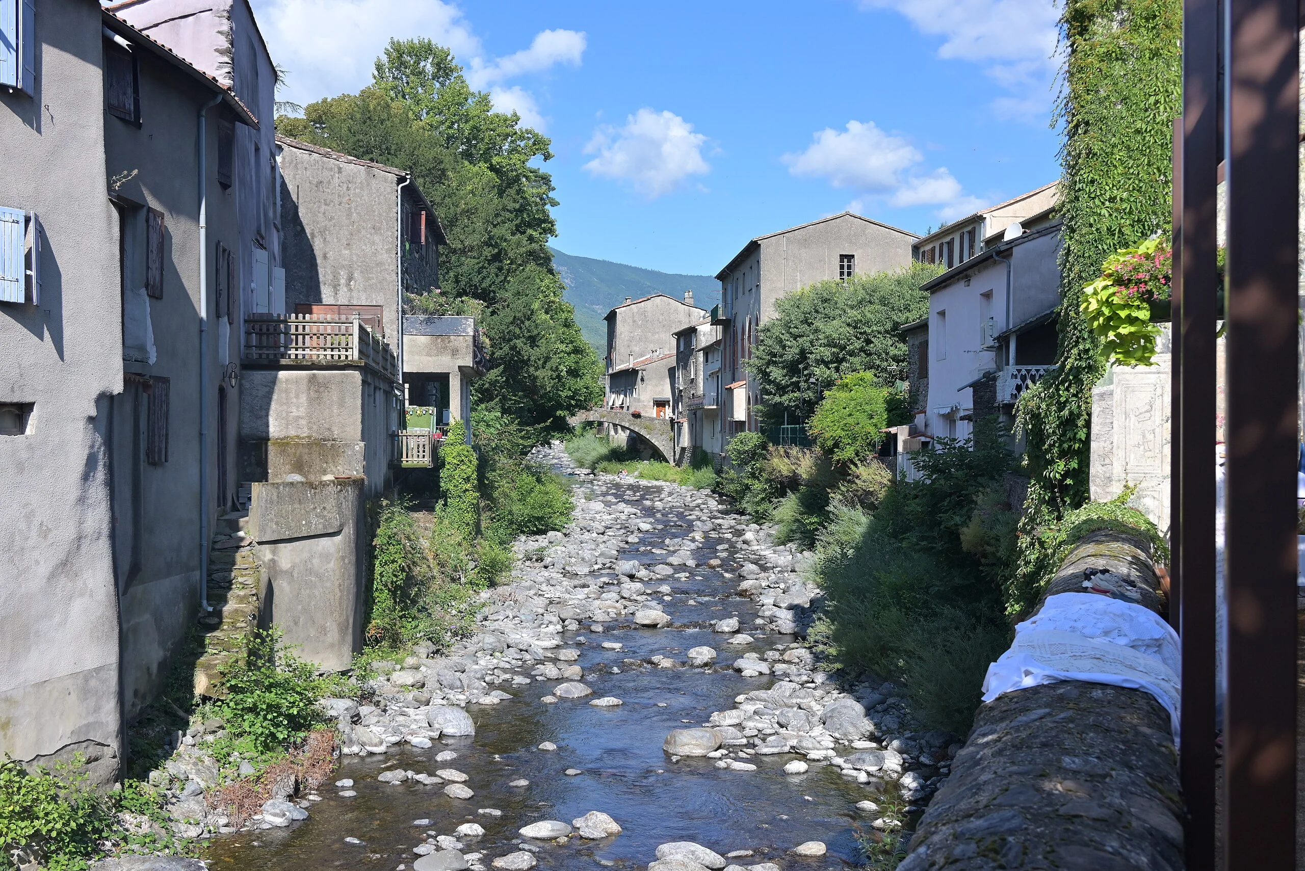
The main attractions are still the Mont Aigoual and the Cévennes National Park, but this gateway town is still pleasant (if only because you are looking for shops). I liked the presence of a stream and the picturesque look of the houses. A peaceful and very green place, perfect for strolling around a bit and recharging your batteries.