
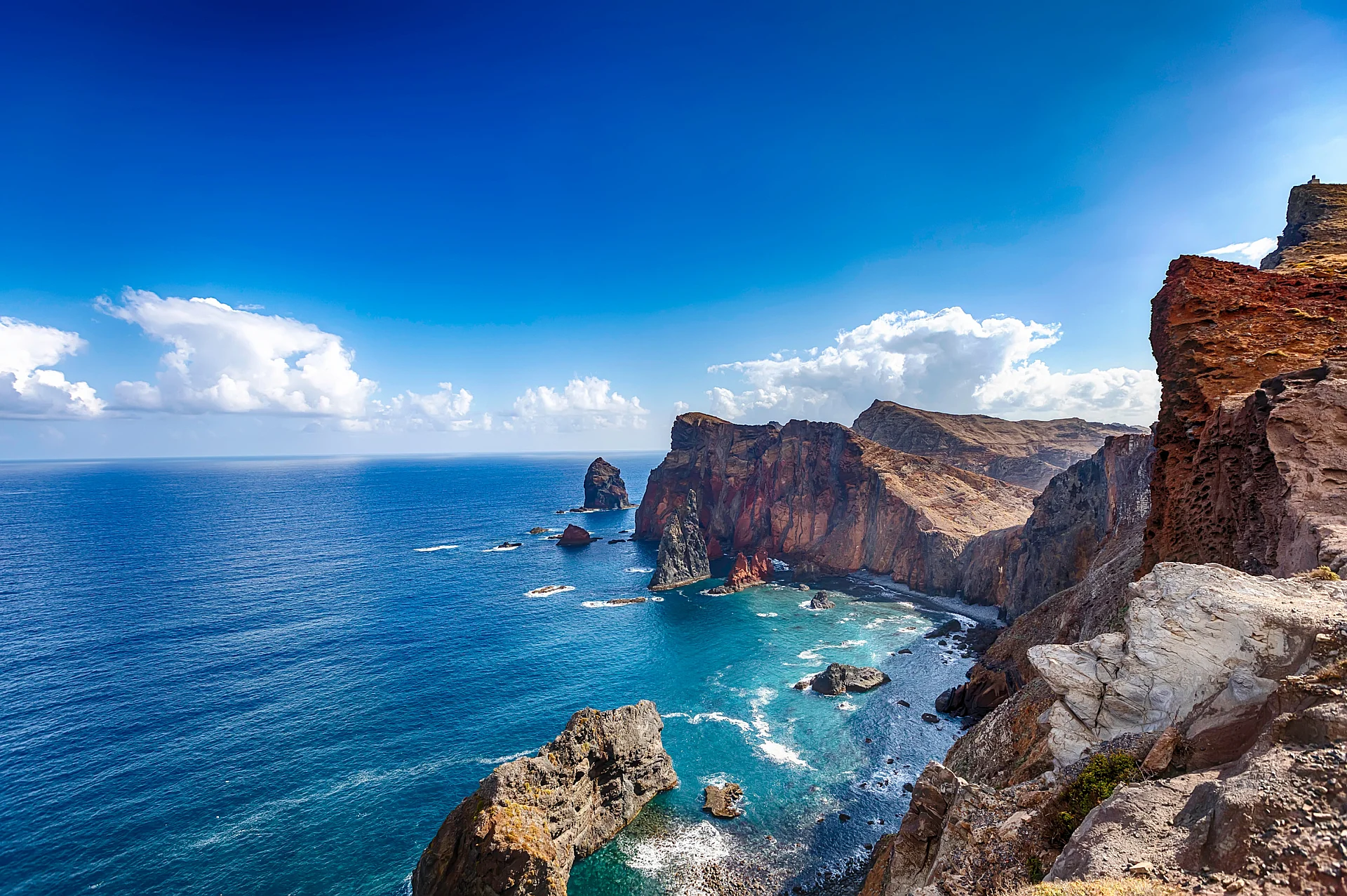
A tongue of red rock jutting into the Atlantic
Here, the landscape changes entirely: gone are the dense forests and green terraces, replaced by a bare, arid terrain where the cliffs shift from red to ochre and brown before plunging straight into the ocean.
The trail runs right along the ridge, with the sea on both sides.
Why visit Ponta de São Lourenço
This is the easternmost tip of the island, a narrow volcanic peninsula stretching from west to east. It is protected as part of the Ponta de São Lourenço Nature Reserve, and its landscape offers a sharp contrast to the rest of the island.
Out at sea, several islets dot the horizon. Among them, the Lighthouse Islet (Ilhéu do Farol) bears a lighthouse, a silhouette clearly visible from the coast.
The PR8 trail, from west to east
The marked trail PR8, known as the Vereda da Ponta de São Lourenço, traverses the peninsula from end to end. It alternates between ridge paths and cliffside stretches, with hidden coves appearing down below.
Toward the end of the route, Casa do Sardinha, a remote historic house, serves as a key landmark for hikers, signaling that you are nearing the end of the path.
The Abra viewpoint
Near the start of the trail, the miradouro da Abra opens up views over both sides of the peninsula. It is the ideal spot to photograph the jagged coastline and colorful cliffs before starting your hike, or to catch your breath on the way back.
The trailhead is located at the Baía d'Abra parking lot, which is easily reached by car from Caniçal in the municipality of Machico.
How long for this activity
Plan for about half a day to hike the marked trail out on Ponta de São Lourenço.